Ua-Pou to Ahe

From the Marquesas to Bora Bora is “free sailing” on the World ARC. That means we can go where we like as long as we all meet up in Bora Bora on 11 May, to prepare for Leg 5. It’s about 1000 nm from Ua-Pou to Bora Bora with lots of atolls in between – the Tuamotu Islands and the Society Islands being the main groups.

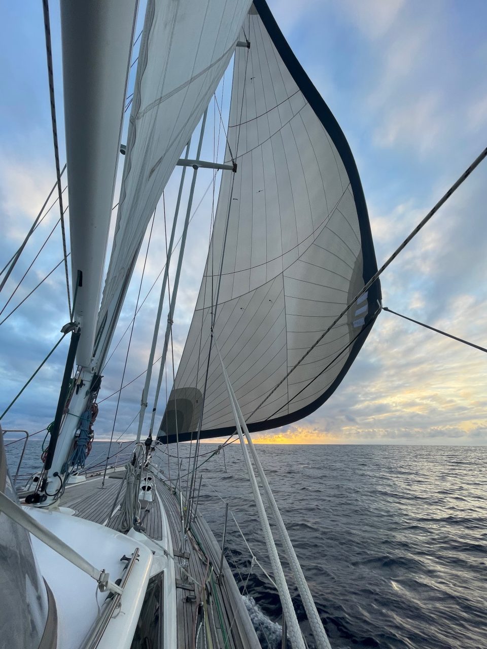
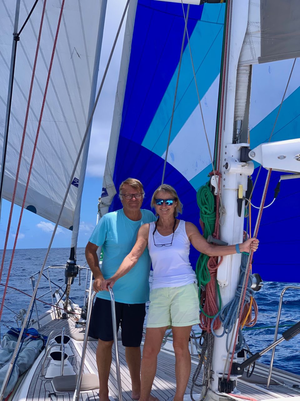
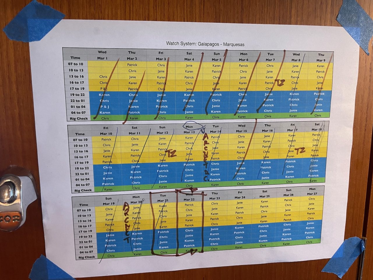
With Patrick and Janie leaving us in Nuku Hiva (thanks for all your hard work!) Karen and I decided to sail to Ahe in the Tuamotu group on our own. 480 nm is three days and three nights of sailing. We ran a three hour on, three hour off watch system and although tiring, not too bad and definitely possible for short passages.

Tuna!
Tuna!

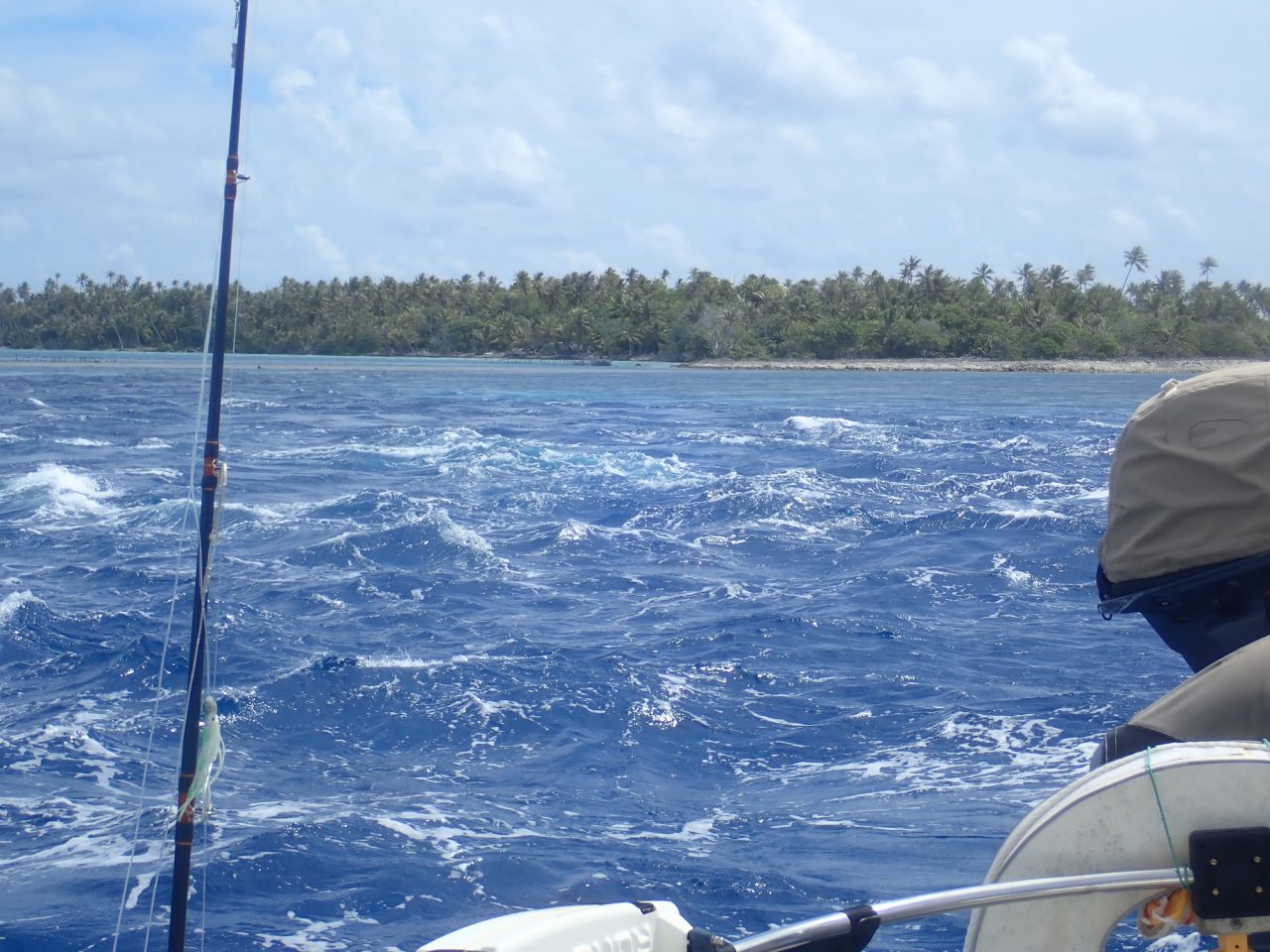
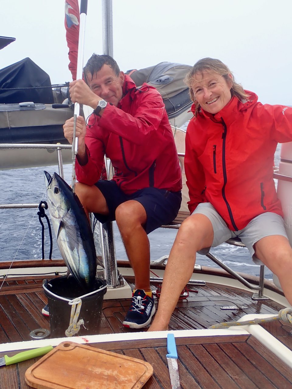
The highlight was catching a tuna on day 2. We think it may have swallowed the hook completely as it was already dead when we landed it. Karen gutted and filleted it – there’s probably enough for 16 servings!

Arriving in Ahe posed a new challenge – the atoll. Only one way in and always a current dragging you one way or the other. The advice is to enter on slack tide, which in the South Pacific is six hours after moonset or moonrise, that would be 1220 local for us. Our ETA was 1400 which we thought might be too late, so we motored for the last few hours and arrived outside the pass at 1315. It didn’t look too bad so, with life jackets on and the boat buttoned up, we motored though the pass. All good, but definitely not something to do at night or in bad weather.

Ahe Atoll
Ahe Atoll
Ahe Atoll Entrance
Ahe Atoll Entrance – Tiarerao Pass

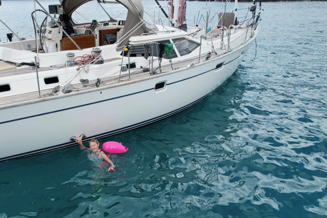
The anchorage is by the “Village” – we’re surrounded by shoals, “boombies” and reefs. Again, day VFR only!

At Anchor
At Anchor

Hiva Oa, Nuku Hiva and Ua-Pou

After a couple of days in the small bay of Hiva Oa we sailed 25 nm south to the island of Ua-Pou. Apparently it was the island which inspired the Disney film Moana.

A day or two later we sailed north back to Nuku Hiva, but this time to a beautiful bay called Hanamoenoa. Karen went on a hike with some of our World ARC friends and I sent the drone flying.

Leg 4: Santa Cruz, Galapagos to Hiva Oa, Marquesas Islands

The Plan
The Plan
The Tracks
The Tracks of the ARC Fleet

Three weeks at sea – this is the longest passage of the whole circumnavigation, 2980 nautical miles in a straight line.

But you can’t go in a straight line because you need to go south to pick up the Trade Winds. How far south? Good question.

In our case, we missed the official start because we couldn’t raise the anchor. The chain was snagged on something but it magically freed itself an hour later. Once we were on our way we went a little further west and a little less south than most of the fleet. It still took three days of motoring to find the wind, and even then the wind was less strong and more variable than we’d experienced in the Atlantic.

Some of the hightlights of the 21-day passage: a midnight rescue of Raindancer, a non-ARC boat which hit a whale and sank within 15 minutes. Eight ARC boats diverted to the last known position of the liferaft but another non-ARC boat, Rolling Stones, got there first and effected the rescue. Fishing: we threw three fish back which we decided were too small to eat, but landed a tuna and a small mahi mahi. Sun shots: Patrick was keen to use the sextant so between us we took quite a lot of sun shots. Our fixes were usually within 5-10 nm of our GPS position – good enough! Fixing the boat (not really a highlight): the generator played up on this leg. By trial and error and some advice from other boats, I narrowed the problem down to the fuel feed, so we eventually found a way to keep the genny running. Losing the generator means we have to charge the batteries by running the engine, but it also means we can’t run the water-maker.

As we finally anchored in the small bay of Hiva Oa, I recorded our total distance as 3080 nm. Here’s to some shorter passages over the next few weeks!