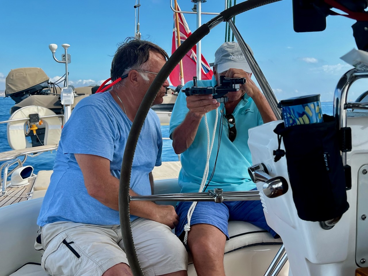
I’m brushing up on my sextant skills with the aim of taking (and passing) the Yachtmaster Ocean exam in Las Palmas when we get there. My 500 nm qualifying passage will be Gibraltar to Gran Canaria in October.
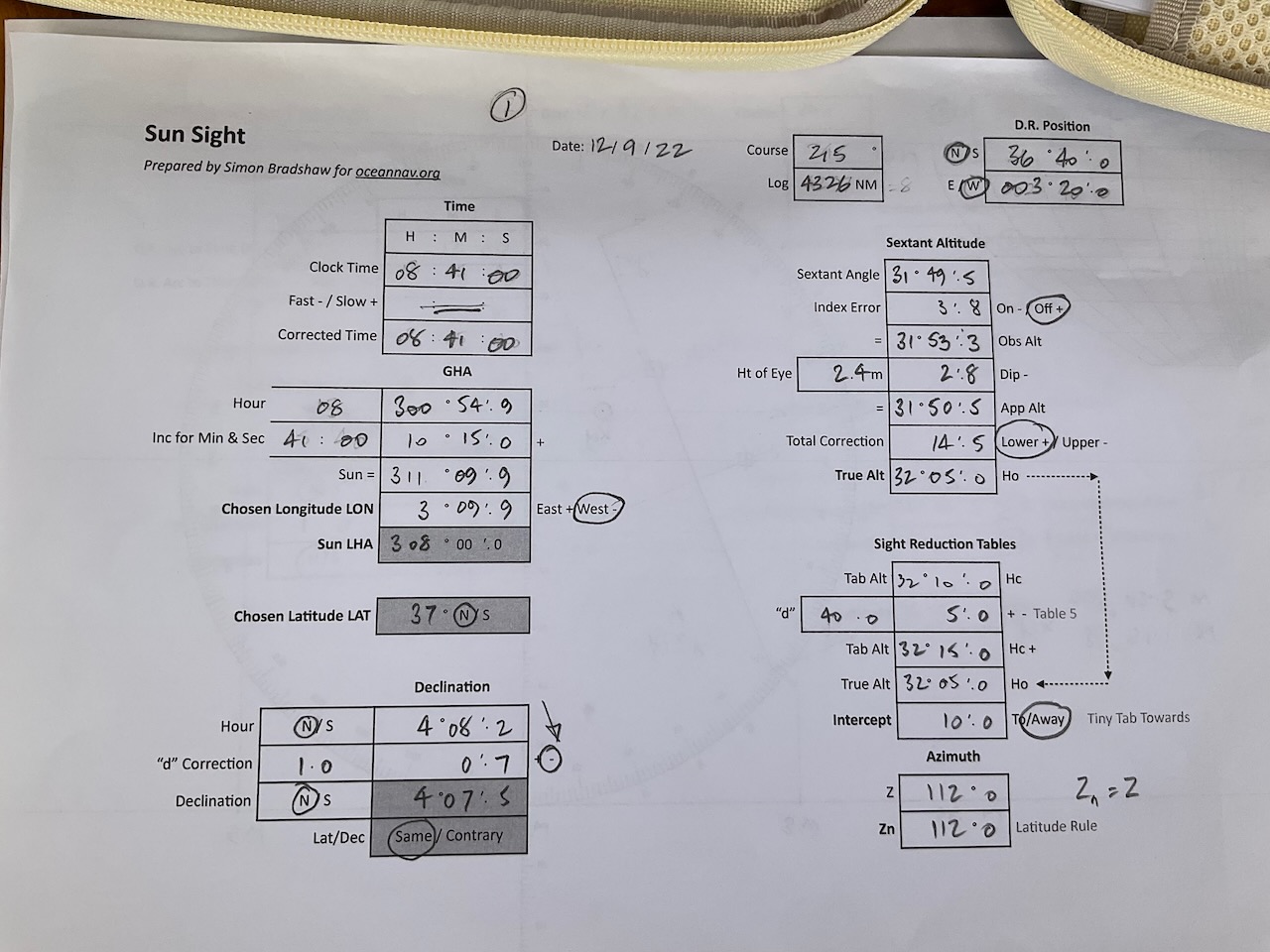
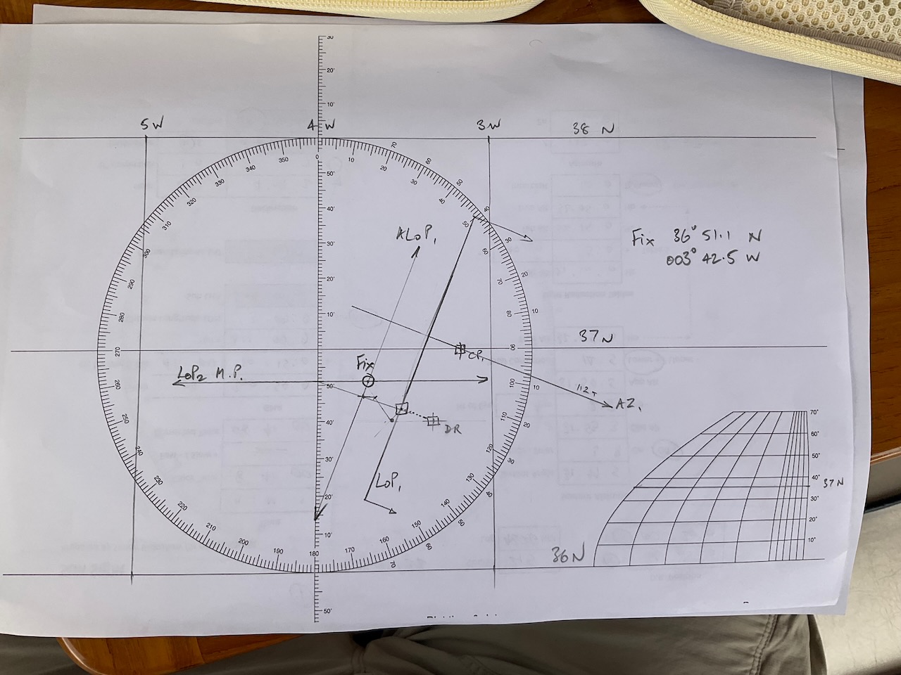
The plot today went well, all things considered. There was a clear view of the sun in the morning so I did a standard Sun Sight which plots as a Line of Position. In this case, 112 degrees from my chosen position and 10 seconds (nautical miles) away from it.
The second shot today is known as Sun Meridian Passage. The idea is to take six or eight shots before and after noon and work out the time and angle of the highest point of the sun. At local noon you are on the same meridian as the sun (the sun is directly north or south of you) so the result is a line of latitude, in this case 36 deg 51.1 seconds North. The was a lot of high cloud at 1400 local so I wasn’t very confident of accurate readings.
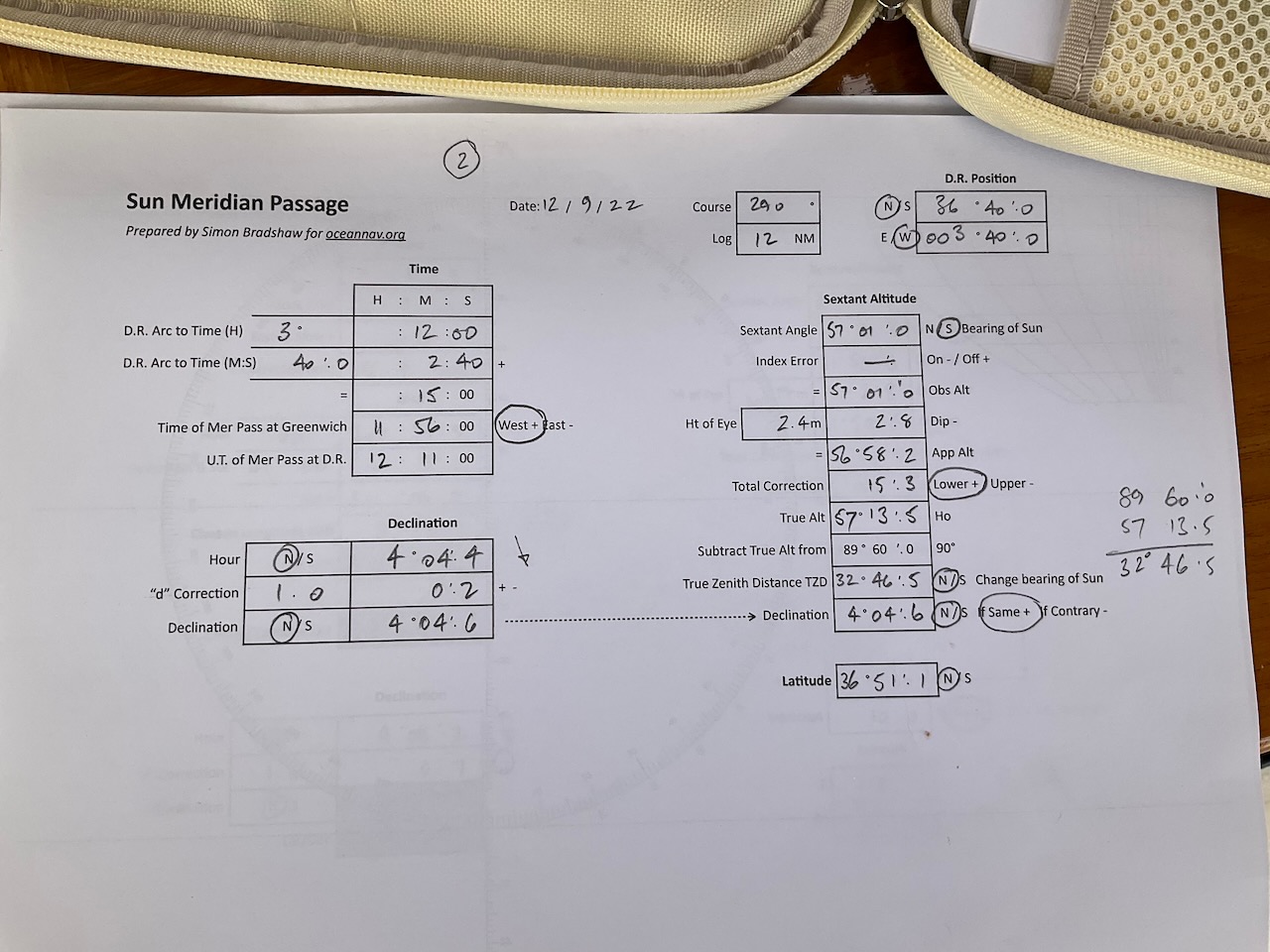
Finally, in order to fix your position at the time of the second sight, you move (advance) the first Line of Position by the course and distance sailed between the first and second sights, in this case 290 deg and 12 nm. Where the Advanced Line of Position and the noon latitude cross is your position! Magic really.
The final plot looks like this:
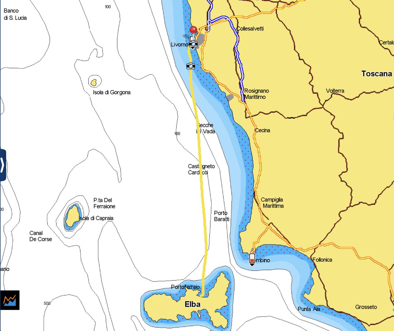
The noon sight was taken after we had dropped anchor, so I took a screenshot of my iPad which shows the boat location (red arrowhead) and my calculated position (white circle) about 8 nm apart. Good enough for sailing the oceans!


